How live interactive satellite maps became prediction engines, thanks to IA
Satellite imagery has undergone a massive revolution since its first use in the 1970s. It began as static natural-colour images, whereas today, multispectral and hyperspectral images (capturing data at several, specific, narrower wavelengths beyond visible light) are the norm. Not only has the amount of data we can extract from images increased, but the way we can visualise them has also changed radically.
In recent times, the rise of interactive live satellite maps online has continued to grow. However, another transformation is underway that involves applying advanced technologies, such as AI or ML, to these maps to generate future predictions. Rather than simply observing the world, users now seek actionable forecasts, such as anticipating crop yields or identifying early signs of natural disasters.
From visualization to intelligence
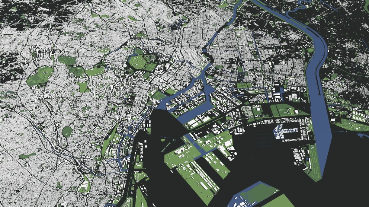
Interactive live satellite maps available online, based on the most current satellite images, primarily serve as a visual interface for observing Earth from above. They allow users to explore different regions and follow changes almost in real time. This visual access is valuable for gaining quick insights, but it also comes with clear limitations. Interpreting satellite imagery often requires human effort, as users must manually analyse what they see. In addition, reviewing large geographic areas becomes time-consuming, and important patterns can be easily overlooked. Raw images do not inherently explain what is happening; they simply display data.
Artificial intelligence addresses these challenges by transforming how satellite data is used. Instead of relying on manual inspection, AI systems can automatically process large volumes of imagery and identify important patterns. These algorithms can track changes over time and highlight relevant features without constant human intervention. As a result, what begins as a simple visualization of current Earth satellite images evolves into practical intelligence, making satellite data far more efficient for real-world applications.
The role of AI in satellite imagery processing
For transforming visual media, such as interactive maps, into predictive systems, artificial intelligence is integrated at various stages of the processing pipeline. This approach allows systems not only to display a live satellite view but also to interpret and analyse it meaningfully.
One of the first stages is data preprocessing. Satellite imagery is often affected by clouds, inconsistent lighting, or sensor noise, which can reduce its usability. AI techniques help improve data quality by removing cloud cover and shadows, adjusting brightness and contrast for consistency, and enhancing overall image clarity, among others. These improvements ensure that the data is reliable before further analysis.
The next step is feature extraction, where ML models programmatically detect image features rather than processing raw pixels. Models quantify indicators such as vegetation health, water presence, urban expansion, and soil composition. These extracted features increase data usability and enable downstream analytical workflows.
Finally, pattern recognition enables AI systems to analyse changes over time. By processing image sequences, particularly from the most current satellite imagery, models can detect trends that would be difficult to identify manually. For example, they can track crop growth cycles, monitor urban expansion, or identify deforestation patterns. This temporal analysis allows satellite data to move beyond simple observation and support forecasting and decision-making processes.
Building a prediction engine
Upon extracting temporal patterns, AI platforms generate predictive models by integrating historical and real-time datasets. These systems move beyond descriptive analysis to enable forward-looking capabilities, such as:
- Estimate agricultural yields based on vegetation behaviour.
- Anticipate wildfire risks by analysing temperature and drought signals.
- Identify flood-prone areas using rainfall and terrain data.
- Monitor infrastructure risks such as erosion or land subsidence.
Scalable intelligence with cloud integration
A major advantage of leveraging AI with satellite imagery is global scalability. Unlike conventional monitoring systems restricted to specific geographies, satellite-driven approaches can provide persistent, planetary coverage. AI systems deliver high-throughput image analysis, enabling rapid anomaly detection and automated alerting for critical events.
For example, an automated system can scan global farmland to detect early signs of crop stress—an approach impractical to achieve manually. These capabilities depend on a robust data engineering stack. Most solutions leverage cloud-native architectures, provisioning scalable storage, distributed computing, and APIs that enable real-time satellite imagery ingestion and analysis without delays.
Smarter satellites and real-world applications
AI is not only transforming how data is processed on Earth, but also how it is captured in space. One important innovation is dynamic targeting, where satellites can decide where to focus their sensors based on real-time analysis. Instead of following fixed schedules, they adapt to conditions such as cloud cover or ongoing events.
This approach increases efficiency and ensures a higher percentage of useful data. It also reduces reliance on ground control, allowing faster responses to dynamic situations. As these technologies evolve, combining AI with satellite data and cloud systems will continue to improve how we monitor and predict changes on Earth at scale.
AI and satellite technology are transforming observation into prediction. By using current satellite images, organizations can go beyond visualization and anticipate environmental and structural changes, turning data into actionable insights that support faster, more informed decision-making in an increasingly data-driven world.
Comments
Loading comments…